E-Scooter Data for Wheelchair Navigation
Wheels4Wheels presents a scalable method for improving navigation apps for wheelchair users, powered by micromobility provider Bolt: e-scooter telemetry data is translated into surface quality information, which is then integrated into open-source maps – making mobility more accessible for everyone.

The Overlooked Barriers of Wheelchair Navigation
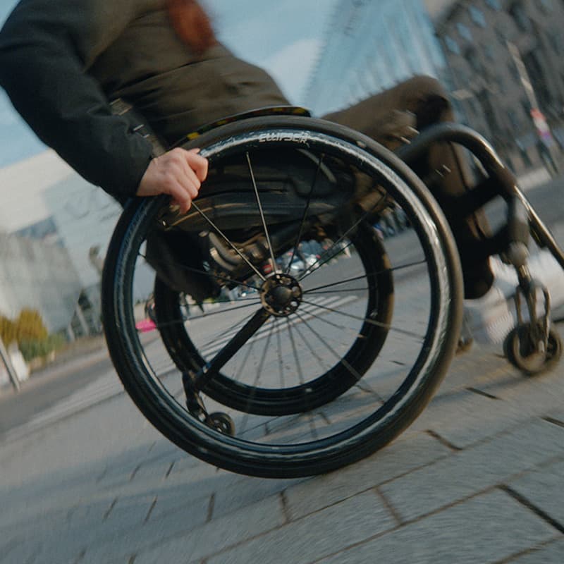
For 80 million wheelchair users worldwide, even short trips require careful planning. Surface conditions that go unnoticed by most, like cobblestone, expose wheelchair users to vibrations that cause chronic pain. Unexpected obstacles often force them to abandon their trip altogether.
- Rough Surfaces
- Steep Inclines
- High Thresholds

The Accessibility Gap in Navigation Apps
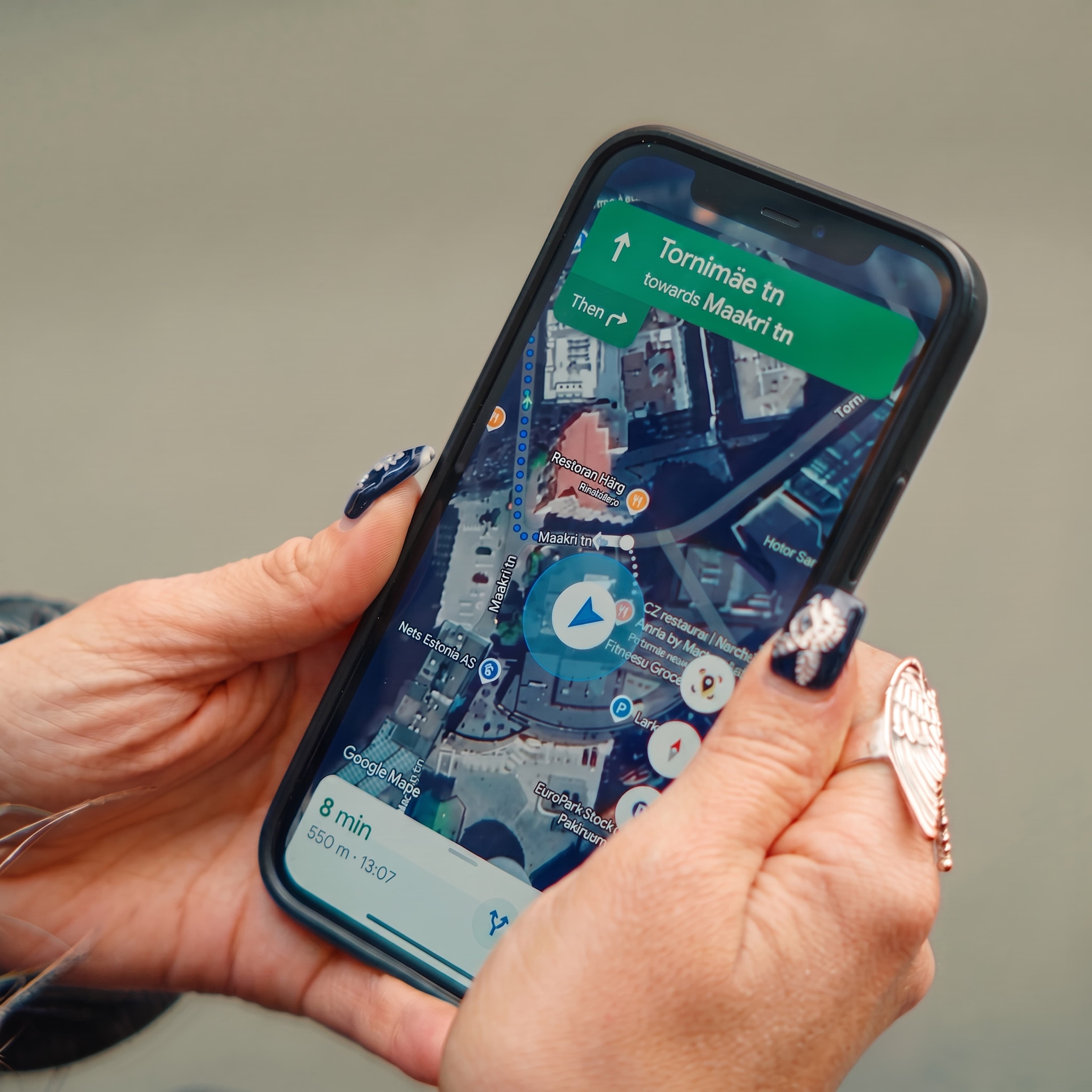
While some navigation apps account for locations of stairs and elevators, wheelchair users need more detailed information, such as surface conditions. For apps that support surface-based navigation, the required data is largely missing because it demands time-consuming manual collection.
Even in many well-mapped cities, less than 15% of surface quality data is available.
Mobasheri et al., 2017

Bolt Scooters Capture the Data Wheelchairs Need
In cities around the world, millions of e-scooter riders intuitively choose smooth, flat, and obstacle-free routes over cobbles, inclines, and curbs. Equipped with various sensors, Bolt scooters constantly collect data to inform product development and safety. What if this data could also benefit wheelchair users?
From Telemetry Data to Accessible Navigation
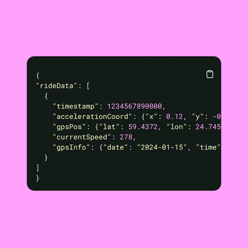
A team of data and accessibility specialists developed a method to translate Bolt scooter telemetry data into information on surface quality, a key factor for wheelchair navigation. High-confidence data is then published to the leading open-source map database OpenStreetMap (OSM), where it is available to thousands of map developers including Apple and Microsoft, and automatically integrated into apps that support surface-based navigation, such as openrouteservice. As a result, Bolt scooter data improves navgation for millions of wheelchair users.
"We’re not building a new app – we’re improving the maps people already use."
Ardo Reinsalu
Director of Vehicles, Bolt
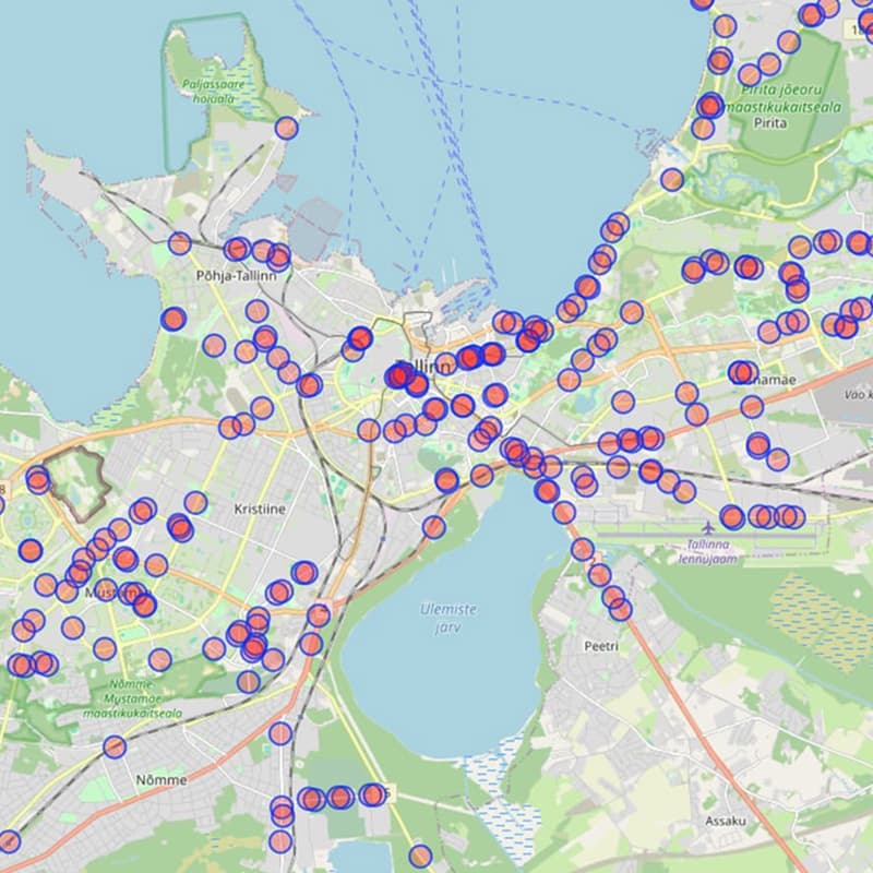
From Tallinn to the World
The Wheels4Wheels method was first implemented in the Estonian capital of Tallinn, where Bolt is headquartered. The project is set to scale across Bolt's more than 230,000 vehicles and 270 cities. Anyone, from individual to organization, can already use the Wheels4Wheels method and tool to process their own e-scooter data and contribute to making navigation more accessible for all.